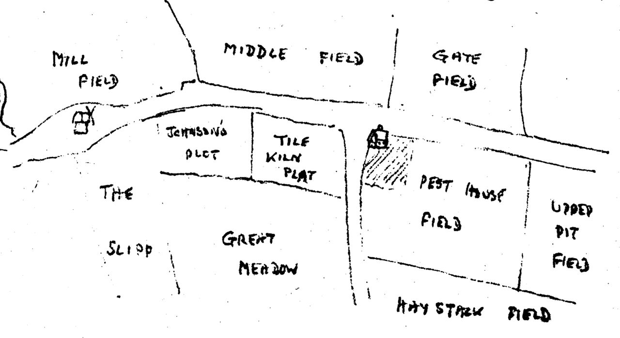
File:Excerpt from John Shorter's 1767 Map showing Frenchs Mill environs.png
From Historical Hastings

Size of this preview: 1,280 × 698 pixels. Other resolutions: 320 × 175 pixels | 2,676 × 1,460 pixels.
Original file (2,676 × 1,460 pixels, file size: 77 KB, MIME type: image/png)
Field names included in map are:-
- Gate Field
- Great Meadow
- Haystack Field
- Johnson's Plot
- Middle Field
- Mill Field
- Pest House Field
- The Slipp
- Tile Kiln Platt
- Upper Pit Field
File history
Click on a date/time to view the file as it appeared at that time.
| Date/Time | Thumbnail | Dimensions | User | Comment | |
|---|---|---|---|---|---|
| current | 20:35, 11 March 2020 | | 2,676 × 1,460 (77 KB) | Royp (talk | contribs) |
You cannot overwrite this file.
File usage
The following page links to this file: